Traffic Volume and Speed Through Staveley and Copgrove

On 26th November 2019 Cllr Windass (North Yorkshire County Council) received a response from Area 6 (NYCC Highways) addressing the issues we raised based on the speed surveys the PC undertook at a cost in September 2019.

In summary the two pertinent points were:

  • “In light of your enquiry, I have looked at the accident statistics on Minskip Road, Staveley for the last 5 years which indicate that there have been no incidents which are attributable to vehicle speeds. Given the absence of an established accident record in the area I do not believe that the application of the assessment formula to any traffic calming scheme to reduce vehicle speeds in the area would result in a score which warranted the provision of funding.”
  • “The speed survey results have shown that speed enforcement is required, however the Police have not enforced any 20 mph limits in the Harrogate area, so I shall take this up with my contact in the Traffic Police, and get a written response about it from them.”
Continue reading “Traffic Volume and Speed Through Staveley and Copgrove”

Signs on Bedlam Lane – Update

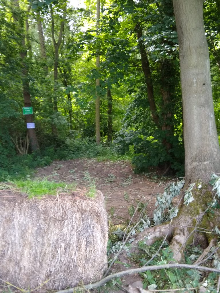
Following a request by the Public Rights of Way Officer at North Yorkshire County Council, the signs at either end of the unsurfaced section of Bedlam Lane (U8086/9/50) have now been removed by the landowner.

Bedlam Lane West End June 2nd 2020
How do I use the map?

This map is interactive. You can move and re-scale it using the various controls within the viewport.

Click/tap the map and drag to move the map around within the viewport as required.

Zoom in and out using the +- controls in the top left, pinch in/out or roll the mouse wheel when pointing within the map area.

Click/tap a marker, line or shape for further information in a popup window. If any marker, line or shape has an image, those images are displayed in a gallery at the bottom of the map. Select an image from the gallery and its marker will popup to indicate its location. The gallery is only displayed when one or more marker, line or shape with an image is within the map viewport.

Select the four corners icon in the top left to expand the map to full screen.

Select the tiles icon in the top right to select a different base map from the popup list. There are a number of base map options available.

Some maps also have layer switches that allow you to show or hide markers, lines or shapes. If a map has this feature, the layers and their switches are listed below the base maps. This feature enables markers, lines and shapes to be individually removed to make a map more readable.

Select the target icon in the bottom right to locate yourself with a marker. This feature will only work if your device has a GPS service and that service is currently active.

Can I download map data?

Yes. Select Details in the map header. A panel will overlay the right side of the map viewport, containing a file format drop-down list and a Download link. Select the required file format from the drop-down list and select the Download link. You will be prompted as to what you wish to do with the file.

The file will contain all of the waypoints for all of the currently visible markers, lines and shapes. You can control which markers, lines and shapes to include in the download file by switching the respective layers on or off. Select the tiles icon in the top right of the map viewport (close this panel first) to see the layers available below the list of base maps.

Whilst the panel is open, select More Details to display the map on a separate page. There is also an option to download map data on this page.

Close the panel by selecting the X in the top left corner of the panel.

Details
Bedlam Lane Unsurfaced Section April 2020
?
Export
More Details

The woodland adjoining this section of lane to the south is private land however, and the signs have been moved to the entrance to the woodland.

The signs in the field that links footpath 15.124/8/1 to Bedlam Lane remain as this informal path is not a public right of way.

Details
Bedlam Lane to Footpath Shortcut
?
Export
More Details

Staveley Traffic Survey Results

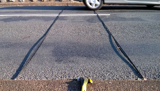
Following the decision at the last Parish Council meeting (minute 8.5), a traffic survey was recently commissioned from North Yorkshire County Council (NYCC) for Main Street and Arkendale Road Staveley. The survey took place at the two sites for a period of seven days from 13th to 19th September 2019, using traffic counting cables.

The survey results are now available and can be seen in full here (Main Street) and here (Arkendale Road). A summary of the directional results for each of the seven days is available here.

Continue reading “Staveley Traffic Survey Results”

New ‘No Footway’ Sign for Minskip Road

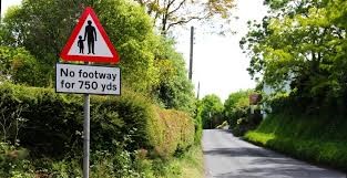
North Yorkshire County Council (NYCC) have confirmed that they will action a ‘No Footway’ warning sign to motorists when approaching Staveley along the Minskip Road. The Parish Council (PC) requested a sign following resident comments at the last PC meeting on the dangers of walking the section of road between the Staveley Nature Reserve car park entrance and the village.

NYCC also stated:

However, we are afraid we have no funds to change the current situation. It is a rural unrestricted road, which unfortunately would not qualify for any measures to reduce vehicle speeds, or provide additional footways.

We are advised that the sign will be installed by the end of October 2019.